This weekend, I went up to Glacier NP and the surrounding area for the day to see some fall colors!

Unfortunately, the Going-to-the-Sun road was closed right before Logan Pass, but we were still able to make it pretty far. My friend Kasey and I entered in West Glacier, like always, and headed up past the Triple Arches, where we had this view:


Next we headed down the Loop Trail and scrambled along some boulders across a waterfall!

We stopped along the road on the way back to the entrance:


One last stop in the Southern part of the park: Lake McDonald. Check out my post on Instagram below!

Loading
The last best place. Lake McDonald, Glacier NP. {#nofilter#iphoneography#montana}
After heading up the Inside North Fork Road (which was mostly dirt/gravel) –

– we stopped in Polebridge – one of the smallest towns I’ve ever seen. The lending library was the size of a mailbox and the one cafe they had was shut down for the winter season.

After the off-road drive to Columbia Falls, we headed to Whitefish for dinner – and stopped at the lake, of course.

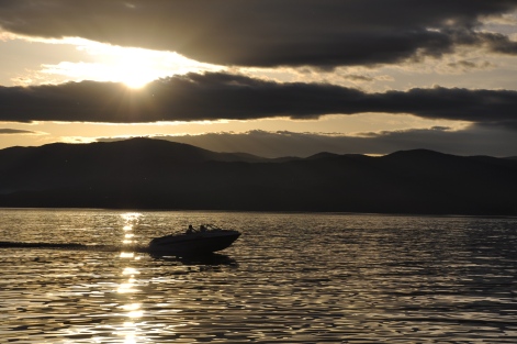
Last stop – sunset on Flathead Lake at Finley Point State Park. Because what could be better to conclude a Western Montana day?

*All photos are my own, except the map.